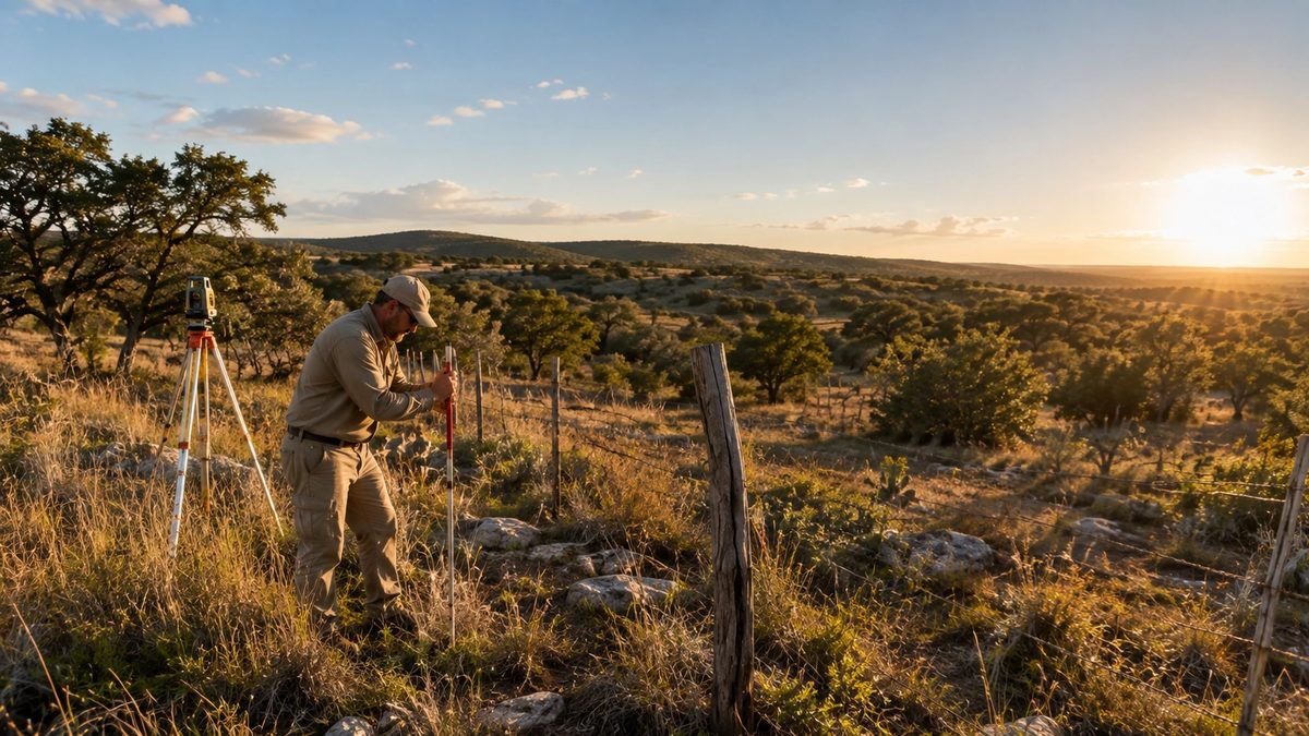
Why a Survey Is Not Optional on Rural Land
Rural land in Texas has a survey problem — and most buyers don't discover it until they're already under contract. Unlike a subdivision lot with a recorded plat and well-defined corners, many rural tracts in Blanco and Gillespie Counties were originally described by metes and bounds: a narrative legal description written from an iron pin, a cedar post, or a creek bend that may no longer exist.
A boundary survey is how you find out whether what the deed says matches what's actually on the ground. In rural transactions, the two frequently don't align perfectly. The discrepancy may be minor — a fence line that drifted a few feet over decades. Or it may be significant: an overlapping neighbor claim, a boundary that cuts through a structure you planned to use, or a strip of land that belongs to the county road right-of-way.
Finding these issues before you close is much cheaper than finding them after. A survey that costs $3,000 during due diligence can prevent a $50,000 legal dispute five years into ownership.
The Types of Surveys You Will Encounter
Boundary Survey
The most common survey type on rural land purchases. A licensed land surveyor (RPLS — Registered Professional Land Surveyor) locates and marks the legal corners of the property, compares them to the deed description, and produces a drawing showing what they found. If corners are missing or ambiguous, the surveyor uses adjacent deed calls, original survey records, and professional judgment to establish them.
A boundary survey tells you:
- The exact legal corners and how they were established
- The precise shape and acreage of the tract
- Where existing fences and improvements sit relative to the boundary line
- Easements visible on the surface (roads, utility lines, pipelines)
- Any discrepancy between the deed description and physical reality
ALTA/NSPS Survey
A more detailed survey standard required by most commercial lenders and title companies on larger or more complex transactions. An ALTA survey covers everything a boundary survey does, but also shows improvements, recorded easements, encroachments, access, flood zone classification, and other matters from the optional Table A checklist. If you are financing through a bank or institutional lender, confirm early whether they require ALTA — it costs more and takes longer than a standard boundary survey.
Topographic Survey
Shows elevation changes and terrain features across the property. Useful when planning to build, managing drainage, or understanding where water flows during a rain event. A topo survey does not establish your corners — it is a different product from a boundary survey and does not substitute for one.
Construction Survey
Used once you are ready to build. Sets the corners and reference points for a specific structure or improvement on land you already own. Happens after closing, not before.
Most rural buyers in Blanco and Gillespie County need a boundary survey at minimum. If your lender requires ALTA, confirm the specific Table A items they need before you order.
What a Survey Will Not Show You
A boundary survey establishes physical boundaries. It does not:
- Show subsurface mineral interests or oil and gas easements not visible on the surface
- Show recorded encumbrances that have no physical surface expression — those come from the title commitment
- Guarantee what is underground (buried utilities, old structures, tanks)
- Replace title insurance
A survey and a title policy work together. The survey shows physical reality; the title commitment shows what is recorded in the chain of title. You need both.
Encroachments and Boundary Overlaps
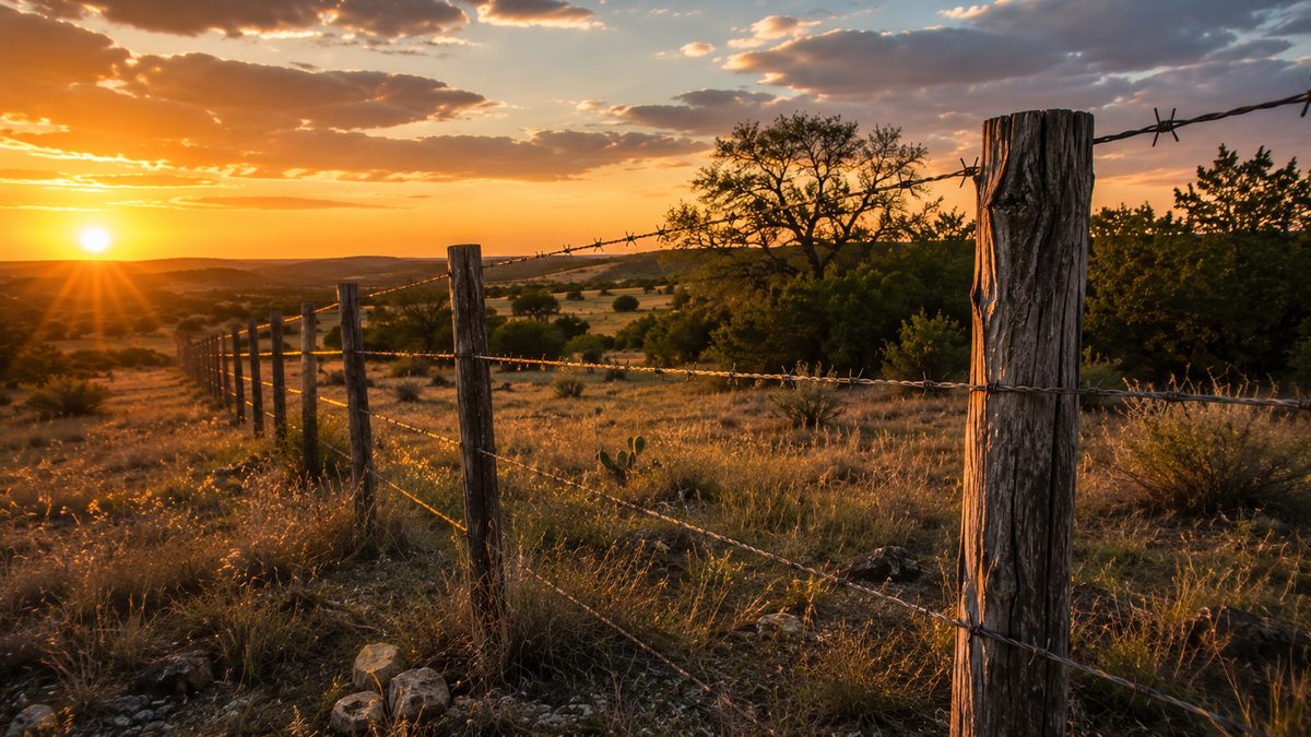
An encroachment is when something — a fence, a building, a road — crosses the property boundary. On rural land, encroachments are common. A neighbor's fence built twenty years ago may sit thirty feet inside your legal boundary. A barn on the property you are buying may rest partially on the adjacent tract.
Neither situation is necessarily a deal-killer, but both require resolution before closing. The survey identifies them; what happens next depends on negotiation, a boundary line agreement between neighbors, a lot line adjustment, or in some cases a quiet title action.
An overlap is the more serious version: two deeds describing the same land. This typically results from a drafting error somewhere in the chain of title. When the surveys of adjacent tracts are compared, a strip of land appears in both. Title companies handle these differently — some will insure over a minor overlap with specific exceptions, others require resolution before issuing a policy. Either way, you want to know before you close, not after.
Survey Stakes: What They Are and Why They Go Missing
Survey corners on rural land are typically marked with iron rods (rebar) driven into the ground, sometimes with a plastic cap stamped with the surveyor's registration number. On tracts that have not been surveyed in decades, original corners are often missing — removed by road construction, plowing, erosion, flooding, or simple deterioration over time.
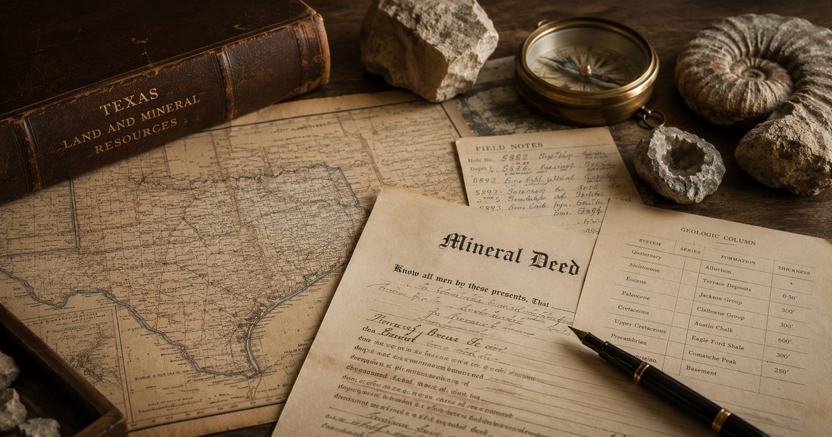
When corners are gone, the surveyor reconstructs them from original survey records, adjoining surveys, and the chain of title going back to the original patent. This takes more time and costs more. It is not unusual for a rural Hill Country survey to involve research in the county deed records, the Texas General Land Office archives, and original field notes from the nineteenth century.
This is another reason to order early. A surveyor who calls halfway through a job to say they need three more weeks to research a missing corner is only a problem if your option period is almost up.
How Old Is Too Old? Survey Age and Acceptable Currency
There is no universal rule on survey age, but lenders and title companies generally want a survey current enough to reflect the property's present condition. A survey from ten or more years ago may not show new improvements, changed fence lines, added easements, or utility installations on adjacent tracts that affect your boundary.
Most lenders require a survey dated within one to two years. Some title companies will accept an older survey with a survey affidavit from the seller affirming no changes since the survey date. Confirm requirements with your specific lender and title company before assuming an existing survey will work.
What a Survey Costs in Blanco County
Survey costs on rural land in Texas vary by tract size, terrain, number of missing corners, surveyor availability, and survey type. In Blanco and Gillespie Counties, typical ranges are:
- 50–100 acre boundary survey: $2,000–$5,000
- 200–500 acre boundary survey: $5,000–$10,000+
- Tracts with missing corners or complex history: $8,000–$15,000+
- ALTA/NSPS survey: Add 30–50% to the boundary survey cost
These figures are relative to land prices in the Hill Country. A boundary survey that reveals a boundary discrepancy — or confirms everything is clean — is worth every dollar. Do not let a $3,000 line item be the reason you skip it.
How to Order a Survey During Due Diligence
Your contract's inspection or due diligence period is when you order the survey. Most Texas rural land transactions use the TREC Farm and Ranch Contract, which includes a standard survey provision. The buyer typically pays for the survey unless negotiated otherwise in the contract.
To order: contact a licensed RPLS registered in Texas and active in the county where the property is located. Surveyors familiar with the local chain of title and adjacent surveys work faster and more accurately. Ask your agent or title company for a referral.
Call early. Rural Texas surveyors are consistently backlogged, and scheduling can add two to four weeks to your timeline before field work even begins. Ordering on day one of your option period gives you results with time to address what they find.